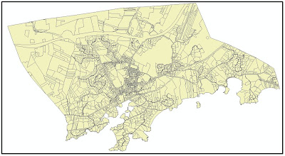
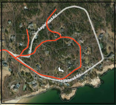
I want them to be transparent, with a nice basemap showing through. When I started with Esri’s “Bing Maps Hybrid”, however, the features were not good enough – their Eaglehead Rd (light gray) does not really line up with the parcels/streets:
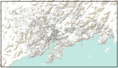
The map made with the Terrain basemap looks fun:
I was hoping for some type of satellite view. The type of photo is called an orthophoto. Any (initial) photo is taken through a single lens, and therefore what you see is an image coming together at a single focal point. In an orthophoto, the image has been corrected (“orthorectified”) so that each point on the photo appears as if you were directly above it (“ortho-“ is a word element meaning “straight”). Orthophotos are available from MassGIS (the Office of Geographic Information) http://www.mass.gov/mgis/colororthos2005.htm
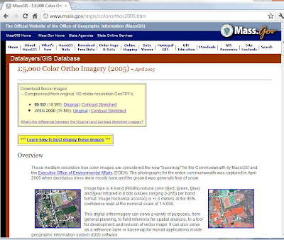
By consulting their index, I downloaded the appropriate 6 zip files in Mr Sid format (“Contrast Stretched” looks best). After unzipping them, I opened them in ArcMap – it looks great!
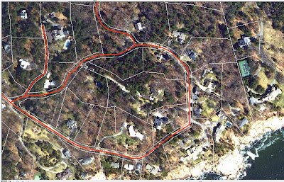
The size of the orthophotos (1 file = 9.76 megs and covers an area 2.5 miles x 2.5 miles) make this impracticable for areas larger than a town or two, but for that level of analysis/display, they are a very nice layer. And you can’t beat the cost.
No comments:
Post a Comment